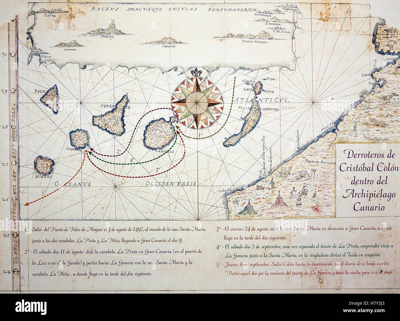
Nautical chart/map (circa 1635) depicting Christopher Columbus`s route in the Canary Islands en route to America.

RMID:Image ID:H7Y3J3
Image details
Contributor:
Islandstock / Alamy Stock PhotoImage ID:
H7Y3J3File size:
38.5 MB (2.4 MB Compressed download)Releases:
Model - no | Property - noDo I need a release?Dimensions:
4279 x 3142 px | 36.2 x 26.6 cm | 14.3 x 10.5 inches | 300dpiDate taken:
18 May 2016More information:
Nautical chart/map by Spanish military engineer Prospero casola (1565 - 1647) depicting Christopher Columbus`s route in the Canary Islands en route to America